The Sea Retreats, Then Returns
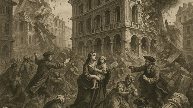
Within roughly forty minutes of the violent earthquake that struck Lisbon on the morning of November 1, 1755, survivors gathered along the city's waterfront, many having fled there specifically because open ground near the river seemed safer than the collapsing buildings and streets further inland, noticed something deeply unsettling: the water of the Tagus River estuary was rapidly receding, exposing mudflats and shipwrecks that had not been visible in living memory. Those with any knowledge of coastal warning signs recognized the danger immediately, but for many others, the strange sight drew curious onlookers even closer to the water's edge, precisely the worst possible response to what was actually unfolding.
Waves That Compounded a Catastrophe
The water that had drained away returned in a series of massive waves, generally estimated by modern researchers at between five and six meters in height, though some contemporary accounts and later analyses suggest waves may have reached considerably higher in certain parts of the harbor and along other stretches of the Portuguese coastline. The waves surged directly into the crowds that had gathered along Lisbon's waterfront, sweeping away many of the very survivors who had fled there moments earlier believing they had escaped the earthquake's most immediate dangers, and the tsunami's floodwaters penetrated significantly inland along the low-lying areas surrounding the Tagus, adding an entirely new dimension of destruction atop a city already reeling from earthquake damage and the fires that had begun spreading through its ruins.
A Wave That Crossed an Ocean
The tsunami's reach extended well beyond Lisbon itself, striking the southern coast of Portugal, the Atlantic coast of Spain, and the northern coast of Morocco with damaging waves, and instrumental and historical evidence suggests the tsunami's effects were detectable as far away as the Caribbean, having traveled across the entire width of the Atlantic Ocean, a testament to the earthquake's extraordinary underlying power. Coastal communities across southern Portugal, some located considerable distances from Lisbon itself, reported significant flooding and property destruction, and the historical record of the tsunami's reach has made the 1755 event one of the most extensively studied transatlantic tsunamis in the era before modern instrumentation existed to precisely measure such events.
Piecing Together a Disaster From Fragments
Because the earthquake and tsunami struck in an era before seismographs or tide gauges existed to precisely record wave heights and timing, much of what modern researchers know about the tsunami's specific characteristics comes from the detailed survey questionnaires that the Marquis of Pombal's administration circulated to parishes throughout Portugal in the disaster's aftermath, asking residents to describe the timing, height, and behavior of the waves they witnessed. This unusually systematic contemporary data collection effort, remarkable for its era, has allowed modern geophysicists to reconstruct a reasonably detailed model of how the tsunami propagated across the region, making the 1755 Lisbon tsunami one of the best-documented pre-instrumental tsunami events available for scientific study anywhere in the historical record.
A Case Study for Modern Tsunami Science
The 1755 tsunami continues to hold significant scientific value today, serving as a key historical benchmark for researchers modeling the tsunami risk facing the Portuguese and broader Iberian Atlantic coastline, a region that, unlike the Pacific Rim, is not typically associated in the public imagination with major tsunami hazard despite this well-documented historical precedent. Modern coastal engineers and disaster planners in Portugal continue to reference the 1755 event when assessing evacuation planning and infrastructure resilience for Lisbon and other Atlantic coastal cities, a sobering reminder that the ocean's capacity for sudden, catastrophic violence is not confined to the earthquake-prone Pacific regions most commonly associated with tsunami risk in popular understanding.
A Warning Written in Stone
In the centuries since the disaster, several coastal towns along the affected stretch of the Portuguese and Spanish Atlantic coast have incorporated markers, plaques, and local oral traditions referencing the 1755 tsunami's reach, serving as informal but persistent community memory of just how far inland and how high the waters climbed on that November morning. Some modern Portuguese tsunami evacuation planning explicitly references these historical markers and accounts when establishing safe zones and evacuation routes for coastal communities today, a rare example of centuries-old disaster documentation still directly informing operational public safety planning in the present day, rather than remaining solely a subject of historical or scientific curiosity.